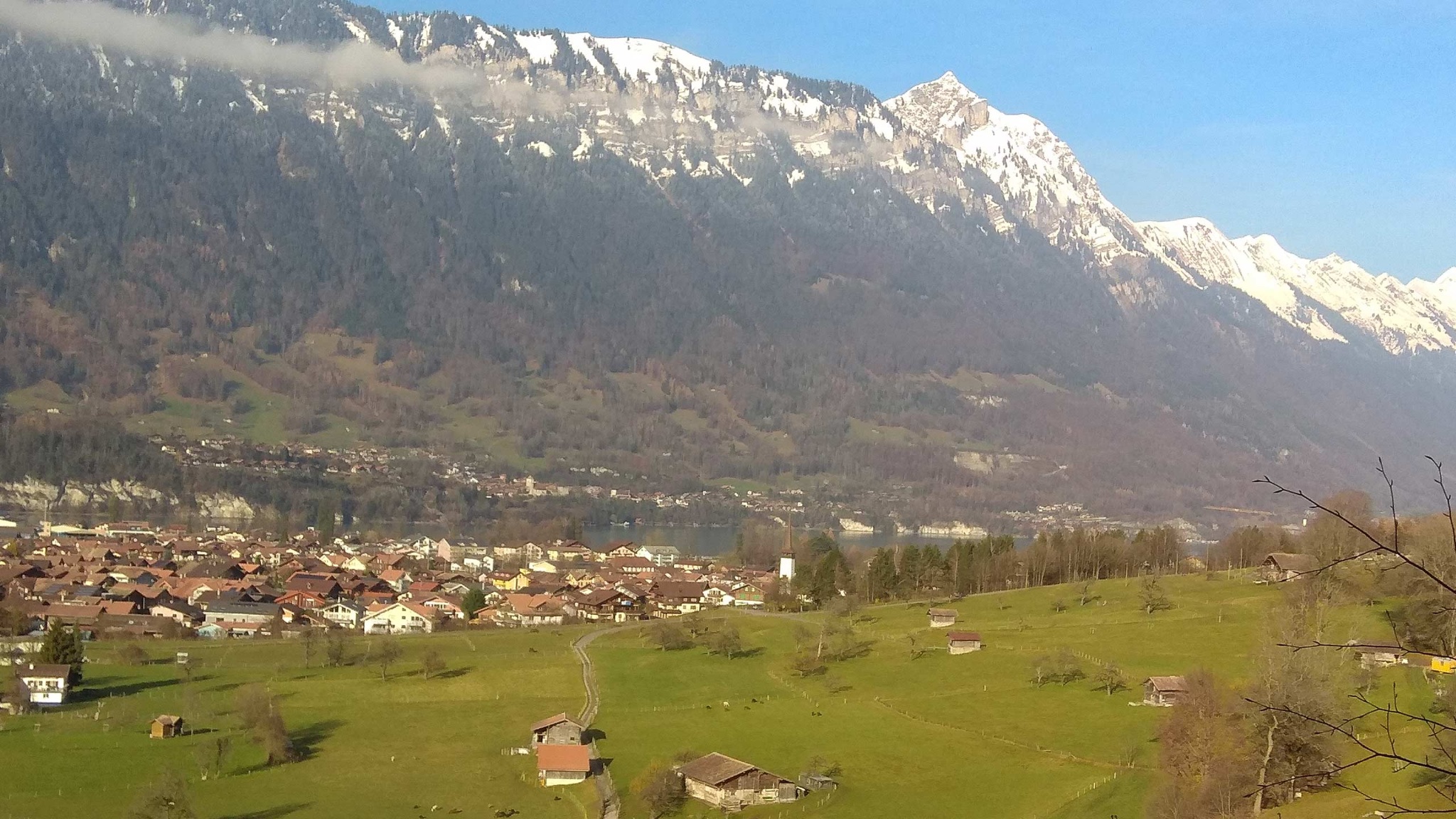

This varied circular hike starts and ends at the Tourist Office and leads to Haslerenegg above Bönigen, where you can sign the summit register.
From the Tourist Office, walk through Oberdorf, up Riedgasse towards Riedli. The ascent through Ried takes you over a wooden bridge (Houetenbach), towards Stockere and further uphill towards Bannwald. You reach Houetenbach again, but this time you have to cross the streambed. The stream usually carries little or no water. You then continue along the path through the forest. A narrow trail now leads you up to Haslerenegg. After the steep climb to 854 m above sea level, you can sign the summit register! The path then leads downhill to Sytiberg, towards Oberallmi and back to Bönigen.